
UPDATE: At 6 p.m. all mandatory evacuations were lifted. Residents with identification were allowed to return to previously evacuated areas.
Earlier this evening, Anza Electric Cooperative announced that power was restored to all homes affected by an outage caused by the fire.
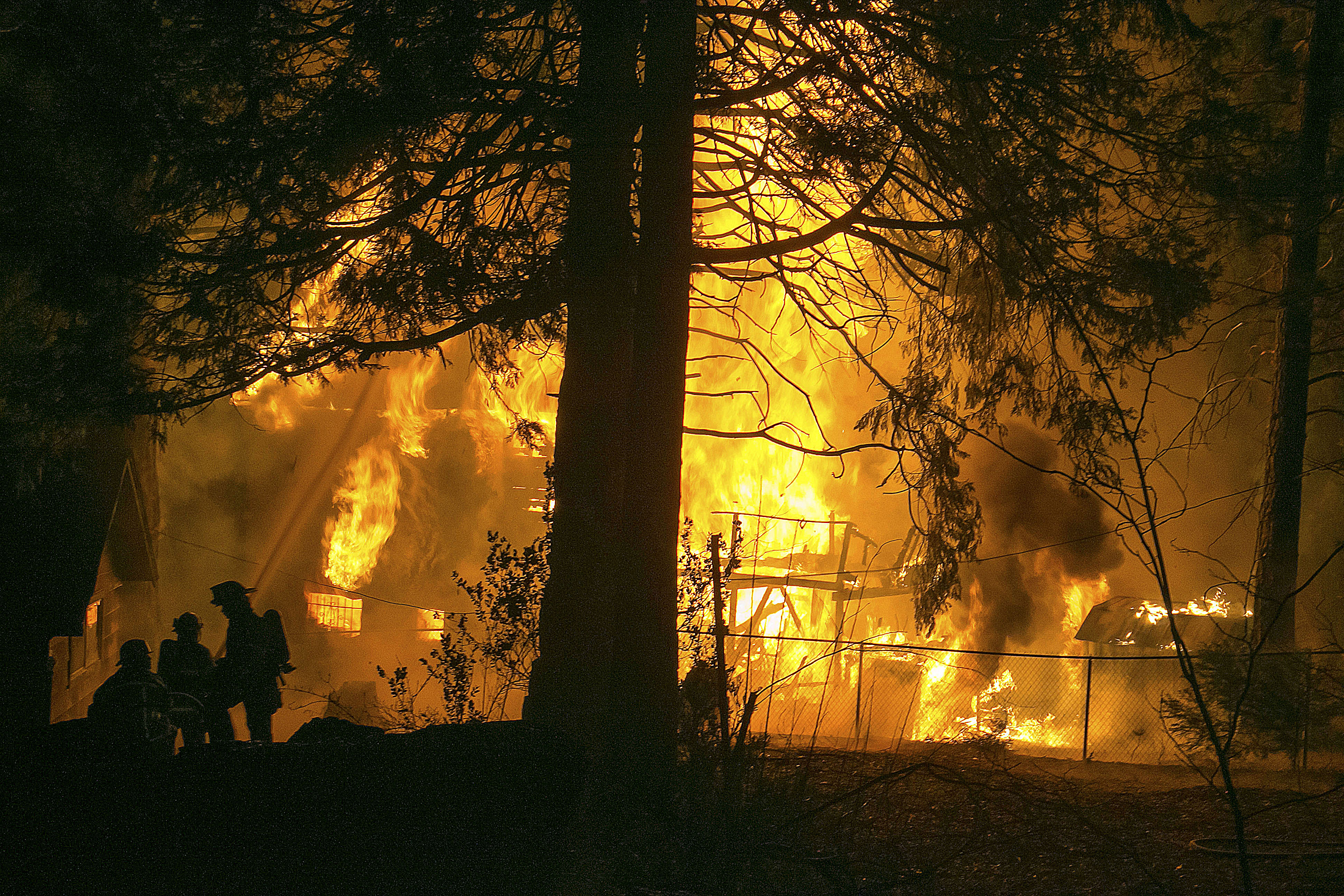
Officials are calling lightning the cause of a massive wild land fire burning in Sage and Aguanga in Riverside County. The "Buck Fire" has consumed 3,000 acres in less than 24 hours. According to Riverside County Fire Department, the Fire is about 15 percent contained.

Reported at about 12:45 p.m. Tuesday, Aug. 14, it has move swiftly through the southwest Riverside county countryside. RCFD reports that a civilian has been seriously burned and taken by air ambulance to an area hospital. Two firefighters also sustained minor injuries, as did a civilian.
In addition, more than 30 homes have been evacuated. The Riverside Emergency Animal Rescue System has been activated to help evacuate small and large animals.
The American Red Cross has opened an evacuation center at the Community Recreation Center, 30875 Rancho Vista Road, Temecula. Animal evacuation center has been established in San Jacinto and Menifee. The primary small animal evacuation center is the Ramona Animal Shelter, 690 Humane Way, San Jacinto, (951) 654-8002. The other center is at the horse shelter Helton Hay and Feed, 26852 Bradley Road Menifee, (951) 775-2226.
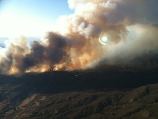
Within three hours of the fire’s start, three structures were damaged and another one subsequently.
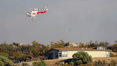
Substantial air and ground resources have been allocated to this Fire. As of Wednesday morning, there were more than 400 firefighters on site and six airtankers and six helicopters.
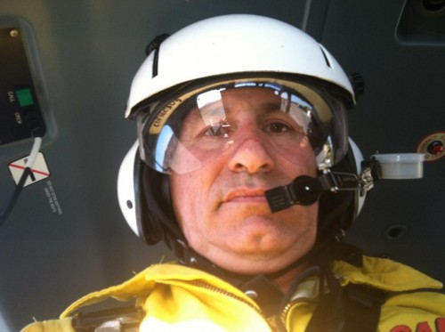
Yesterday afternoon, Third District Supervisor Jeff Stone participated in an aerial survey of the fire. Below of two photos which he shared.


OMG! Do we really need a photo of him when there's so much damage!UGH!
Stone is NOT a good guy and does not care about his constituents!
Can you spot the typo ?
"The Riversdie Emergency Animal Rescue System"
@ J.P. Crumrine – Thank you for reporting this, good article. I find value in reading your work.
@ username: [The Chateaux] – I have not seen any information in the news to back up your bashing of Supervisor Jeff Stone. Please provide examples to support your accusation. So we can all be better informed. Thank you.
This goof, Stone, looks like Candidate Dukakis (another loser), who, by the way, never answers emails addressed to him on his website. So don't bother writing (or voting for) him. He never responded to 3 emails from me concerning the library personnel debacle. Maybe the library operation contractor (LSSI) headquartered in Germantown, Md. has paid him off in campaign contributions?
Returning to the topic, is a map available showing the fire’s boundaries? I’d really like to know what kind of danger surrounding communities like Idyllwild face. Thanks J.P. and Jenny!
It looks like CalFire and similar sites have abandoned giving citizens anything like a "recent" update. We can sit and worry or we can drive by and try to check it out for ourselves. I don't understand why the "fire folks" can't provide information. Someone knows what is going on (hopefully) and could give the info to anyone with a computer — or give it to the ham radio guys. They can pass information around well, and at no cost. It means a lot to us who are not in the flames.
I agree with Stan.
I agree too!
We're down here in San Diego County, and sice we have fires down here too (by Julian) the news hardly metions the one up there!
Have NO idea exactly where the fire is, what direction it's going, etc.
Riverside Fire used to be really good at posting updates and maps – now, not so much!
Maybe Town Crier could print up a map?
WE hope to have a map this evening or tomorrow morning. CAL FIRE is working on that among other tasks.
The fire is well west of Thomas Mountain, and a few miles west of the Cahuilla mountains and south of Red Mountain. This places it south of Hemet and west of Temecula and north of Highway 371
[…] by Jenny Kirchner of Tuesday, the first day of the Buck Fire. To read current updates on the fire, click here. Flames soar above the brush as the Buck Fire grows rapidly on Tuesday in Sage. Photo by Jenny […]