


Last week, the U.S. Geological Survey released a new report on the probability of earthquakes throughout California. Using a new methodology, the agency prediction for quakes of moderate size (magnitude 6.5 to 7.5) decreased, but the likelihood of a quake greater than that size has increased.
In terms of an earthquake of magnitude 6.7 (the size of the 1994 Northridge quake) or greater occurring within the next 30 years, the model probability is 99 percent, a “near certainty.” The probability of a quake greater than magnitude 8 occurring is projected to be 7 percent, a near doubling of values.
“Overall the results confirm earlier finds (California is earthquake country), but with some important refinements in certain areas,” the report’s authors wrote. The average time between a magnitude 6.7 and greater quake has increased from every 4.8 years to every 6.3 years — a 30-percent decrease in frequency.
The study and forecasts of earthquakes have evolved significantly in the past quarter century. For example, in 1988, the agency had identified 16 faults in the state. Twenty years later the number of significant faults was more than 200. For this study, the USGS has identified and included more than 350 faults.
Another change was the realization that quakes were not totally independent and faults are interconnected. Previously, the forecasts appeared to be over estimating the number of moderate quakes compared to actual results. The current model recognizes that quakes can jump faults. This change explains the decrease in the likelihood of moderate quakes and the 20-percent increase in the expectation of a larger quake.
“The San Jacinto Fault has a three-fold decrease in the likelihood of a magnitude 6.7 or larger earthquakes … but a factor of 57 increase in the likelihood of magnitude 8 and larger earthquake,” the report stated. Basically, the model says the fault has less chance of a moderate quake while the chance of a large one has grown.
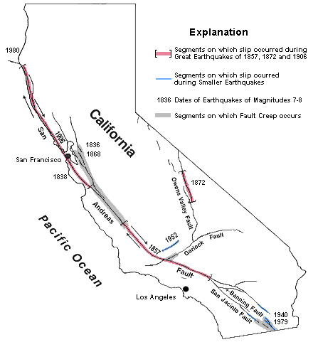
“The southern San Andreas, going through the Coachella Valley and up through the Mojave, is the most likely place in the state to host a large earthquake,” said Ned Field, a USGS geophysicist and lead author of the study, in a press release issued with the report.
The results of the study will be used to revise earthquake maps and by the California Earthquake Authority, which will consider them as part of the evaluation of insurance premiums.