Despite the rainstorms in November and December, 2015 appears to be becoming the fourth-consecutive drought year. However, the National Weather Service is still forecasting above-average rainfall for Southern California between February and April.
Through the end of January, rainfall on the Hill is substantially below the long-term average rain through January of 14.2 inches. The Idyllwild Fire Station has reported 11.86 inches through January; the Forest Service’s Keenwild Ranger Station has received only 6.7 inches and George Tate of Pine Cove reports 12.7 inches. All of these data points are below the average, which includes 5 inches just in January.
At the end of January, the state’s Department of Water Resources reported the snowpack was only 25 percent of its historical average. An exceedingly dry January resulted in the water equivalent dropping 50 percent.
“The absence of precipitation in January, normally California’s wettest month, has combined with warmer-than-average temperatures to produce a dismally meager snowpack for a drought-stricken state,” according to DWR. “… manual snow survey makes it likely that California’s drought will run through a fourth-consecutive year.”
Cal Fire’s Predictive Services unit was more direct in its description of the past month’s weather. “… little meaningful precipitation to important water sheds across the state.”
January was unusually dry this year. According to NWS, it was the fifth-driest January in Big Bear, Riverside and Palm Springs since keeping records began in the mid-1800s.
Although Northern California experienced major rainstorms last weekend, January was a record. For the first time, no rain was recorded in San Francisco during the month.
“Most long-term precipitation guidance continues to be bullish with regards to precipitation the rest of this winter in early spring,” Cal Fire stated. “Take most of the models at face value, it would seem a return to wetter weather conditions is likely before too long.”
However on Thursday, Feb. 5, NWS lowered the probability of an El Niño pattern forming this spring to 50 to 60 percent. As spring arrives, the major indicators for its development weaken, according to weather officials.
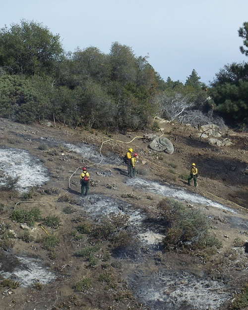
But some rain will do little to diminish the threat of fires this year. In 2014, the third year of the drought, the U.S. Forest Service acknowledged that its fire season was primarily concentrated on the West Coast.
This warning from the Predictive Services Unit has already been issued: “In the absence of wind, there may be enough moisture in the live fuels in brush and shrub to keep rates of spread manageable this spring, but by the beginning of June, large-fire potential may begin to climb back to above normal. The areas with higher-than-normal potential in June may be inland areas above and away from the marine layer.”


