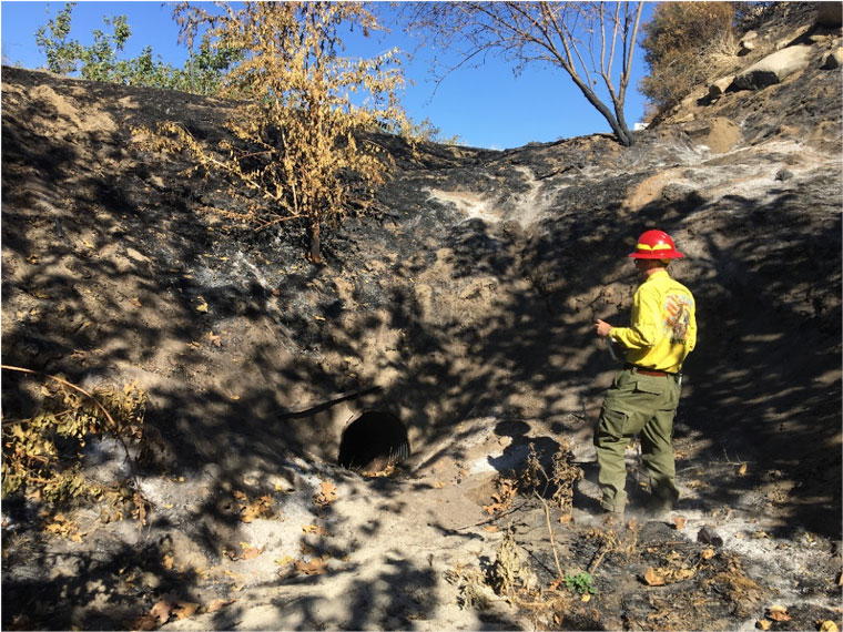
Photo courtesy U.S. Forest Service, Cranston Fire Burned Area Emergency Report
Erosion, rock slides and invasive weeds will be problems to mitigate
The U.S. Forest Service assembles a team of ecological and environmental specialists to assess the damage at every national forest that suffers a major fire.
The Burned Area Emergency Reports can take a week or longer to prepare and be reviewed. The BAER for the damage to the San Jacinto Ranger District from the Cranston Fire is completed and some implementation already has begun.
“The big thing is hazards still exist,” warned Kyle Wright, BAER team leader. “Rock falls, hazardous trees — the landscape is very fire-adaptable, but hazards still exist.”
The fire burned a total of 13,658 acres, of which about 9.4 percent were private land. Five watersheds suffered burning. Nearly all were within Strawberry Creek, San Jacinto River and the Upper South Fork of the San Jacinto River watersheds.
Of the vegetation areas burned, about 15 percent were conifer and hardwood areas. Nearly 80 percent were shrub, chaparral and mixed-growth areas. Fortunately, high soil burn severity was limited to 3 percent of the burned area. About two-thirds suffered moderate severity.
Trails were damaged. The Pacific Crest Trail did not incur any major damage from the Cranston Fire, unlike the consequences of the 2013 Mountain Fire. But the May Valley and lower South Ridge trails were damaged. This will require repair and the South Ridge closure may last for a year.
The team assessed that erosion potential was greatest in the Hurkey Creek area both below and above Fleming Ranch. But the areas along Coldwater Creek in Mountain Center and McCall Park also were vulnerable.
“Fortunately, the vegetation dominating the areas of highest soil burn severity consists of chaparral and conifer species … These species, as seen from the 2013 Mountain Fire, will resprout and reseed and stabilize the soils within [three to five] years,” the report stated.
The team also identified four areas that could be vulnerable to rock slides during normal rain periods. Three of these were along Highway 74 and will be treated with interagency work. “The fourth site is on the lower portion of South Ridge Trail, which will benefit by a minimum of a 1 year closure,” the authors recommended.
District resources did incur some damage; 26 miles of trails and 11.5 miles of roads were in the burned areas.
“It’s five years past the Mountain Fire and we’re still seeing mud flows,” said Bill Wells, hydrologist for the San Bernardino National Forest. “This fire exacerbated this.”
Invasive species was a major concern for the BAER team and several of the proposed emergency treatments. Preventing or limiting the spread of invasive weeds, especially along dozer lines, will be watched for several years.
“The biggest threat is spread of invasive weeds into the food source for the Quino Checkerspot butterfly,” Wright said.
The team estimated that about two-thirds of the dozer lines might need inspection and attention next spring. This would include about half of the known Quino Checkerspot butterfly habitat. The species is registered under the Endangered Species Act.
All of the team’s recommendations, with some minor exceptions, have been approved, according to Wright and Wells. Implementation has already started on many of the treatments, Wells added.