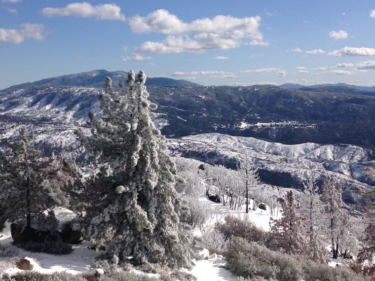
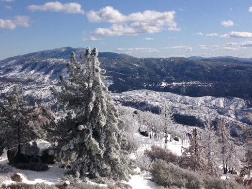
In the past week, 6 to 8 inches of snow and rain have fallen in town, much of the snow accumulating. More snow fell on the communities to the north. And the bitter cold weather helped snow fall in Garner Valley, the eastern edge of Anza Valley and as low as about 3,000 feet.
As of Monday morning, the U.S. Forest Service’s Keenwild Ranger Station recorded about 1.75 inches since midnight Monday, Feb. 4. Most of that rain fell before the weekend, which was colder and brought more snow. From Friday through Sunday, .4 inches were recorded at Keenwild.
More rain is expected to begin Wednesday and continue through Thursday when another atmospheric river passes over Southern California.
From Oct. 1 through Jan. 31, Keenwild recorded 10.5 inches of rain. The long-term historic average for that period is 11.8 inches.
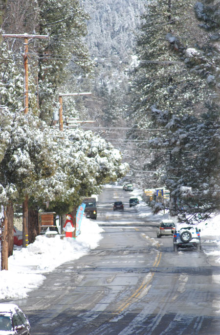
Photo by JP Crumrine
Historically, February brings about another 4.5 inches of rain. Since Feb. 1, 5.25 inches have fallen at Keenwild and the total since Oct. 1 has been 15.75.
While the National Weather Service is forecasting drier weather in the next several weeks and month, temperatures are expected to remain well below normal for late winter.
In the short-term, drought conditions are likely to be lifted, but they may return during the summer.
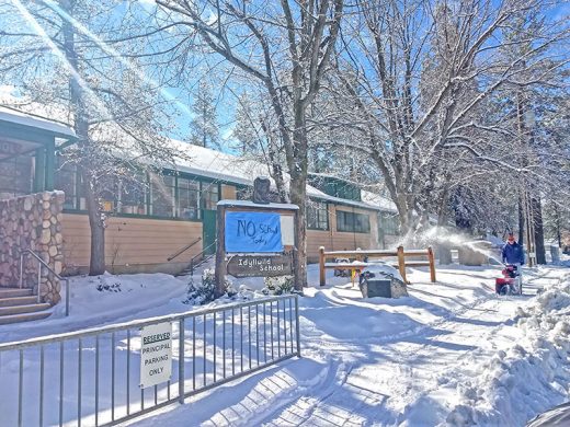
Photo by Halie Wilson
Cal Fire’s Predictive Services unit has advised local firefighters, “Widespread heavy rainfall during the past 30 days continues to drive rapid growth of fine fuels at lower elevations. … This will go a long way to maintaining robust growth of seasonal grasses as well as brush and shrubs below 3,000 feet … which may pose a problem once these fuels begin to cure toward May. Therefore, there may be a spike in grass fire activity compared to most years since 2011.”