Yes, it was cold last week. Record-setting cold temperatures shattered several previous daytime record lows.

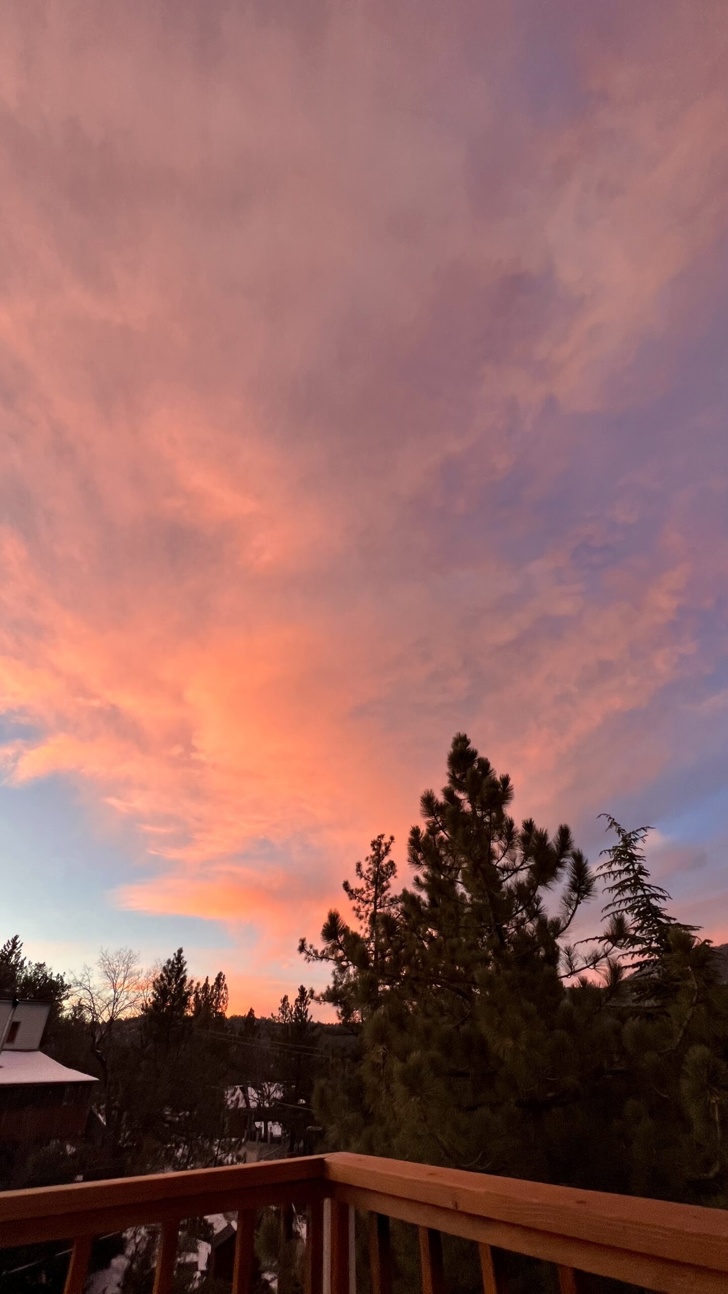
PHOTO BY JOEL FEINGOLD
For three consecutive days, Tuesday to Thursday, Feb. 22 to 24, the daytime maximum temperature was the lowest in years. But by Friday and over the weekend, the “Ice Age” began to fade.
It all began Tuesday, Feb. 22. The National Weather Service (NWS) recorded a high temperature of 34 degrees in Idyllwild. While still above freezing, it was 1 degree below the previous low of 35 for that date, set only four years ago in 2018.
But the distance between the new record and the old record was beginning to grow.
Wednesday, NWS recorded a low temperature of 29 degrees (although the Idyllwild Fire Department (IFD) records show a temperature of 27). Since 1943, when weather began to be collected in Idyllwild, the previous low temperature for Feb. 23 was 35 degrees. That was 3 degrees above freezing in 2007, last week’s low was 3 degrees below freezing, not very close to the previous record.
During Wednesday, the daytime low was 29. And the temperature continued to fall during the evening and night. By 4 a.m. Thursday, as sunrise approached, the temperature reached single digits. At 5:30 a.m., IFD recorded a temperature of 8 degrees.
NWS’ recorded low was 9 degrees Thursday, which again was 6 degrees below the previous low of 15 degrees. That low occurred 60 years ago in 1962.
Thursday morning, NWS noted, “It was a cold night across the region …”
Idyllwild was not the only subfreezing area in Southern California. NWS reported that Big Bear Lake’s low daytime temperature of 23 degrees Feb. 23 also set a record. During the night and early morning of Feb. 24, Big Bear temperatures were at 1 degree and 0.
Accompanying the freezing weather, NWS forecast snowfall throughout Southern California — as low as 2,000 feet. Tuesday, NWS forecast 8 to 12 inches of snow. By Wednesday, the expectation had grown to a foot or more, even in San Diego County.
Residents in Fern Valley and Pine Cove said the snow depth was 11 to 15 inches and north of Pine Cove, residents were shoveling 13 inches.
The actual NWS readings for snowfall were not specifically collected. NWS reported “precipitation” levels, such as .05 inches at Keenwild, .08 inches at Alandale, .31 inches on Thomas Mountain and .01 on Mt. San Jacinto. However, a footnote stated that for areas above the freezing level, the precipitation totals did “… not show accurate accumulating precipitation.”
The local weather conditions during the days and weeks prior to Feb. 22 did not telegraph the spree of record lows. Less than two weeks earlier, IFD recorded four days of high temperatures in the 70s, including a record high of 75 degrees Feb. 12. And for the three days from Feb. 18 to 20, the daytime highs were in the 60s.
The freezing weather was replaced over the weekend. Sunday, NWS’ forecast for the week of Feb. 28 was “a warming trend will occur through the middle of the upcoming week, with well above normal temperatures expected Monday through Wednesday … dry weather will prevail with plenty of sunshine.”
And that trend may be fleeting. Feb. 26, the NWS Climate Prediction Center released its two-week forecast that predicted a 60% to 70% chance of below-average temperatures from March 6 to March 12.