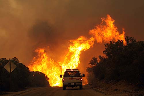
The Office of the State Fire Marshall (SFM) has prepared a new set of fire hazard severity maps for the state. Beginning next month, public hearings will occur throughout California to explain the maps’ purpose and the areas identified as potentially hazardous.
The Public Resource Code has the SFM classify lands within state responsibility areas into fire hazard severity zones.

The Government Code tells the SFM to identify areas in the state as moderate, high and very high fire hazard severity zones. The designation of the level of wildfire hazard is based on fuel loading, slope, fire weather and other relevant factors, including areas where the SFM has identified winds as a major cause of wildfire spread.
Cal Fire stresses that the fire hazard severity zone maps evaluate “hazard,” not “risk.” The SFM compares these maps to flood zone maps, such as where lands are described in terms of the probability level of a particular area being inundated by floodwaters, and not specifically prescriptive of impacts.
“Hazard” is based on the physical conditions that create a likelihood and expected fire behavior over a 30- to 50-year period without considering mitigation measures such as home hardening, recent wildfire or fuel reduction efforts. “Risk” is the potential damage a fire can create in the area under existing conditions, accounting for any modifications such as fuel reduction projects, defensible space and ignition resistant building construction, according to the SFM’s information.
The new hazard maps will more accurately reflect the zones in California that are susceptible to wildfire. Better local climate data and improved fire assessment modeling have been used to prepare the new maps.
The current maps were developed in 2007. Over the past few years, Cal Fire has been building a new model for the 2022 update. The latest technologies will be used in the mapping and will include new factors now available, including land use changes, recent fire history, new significant windstorm data, as well as a model that is more spatially detailed.
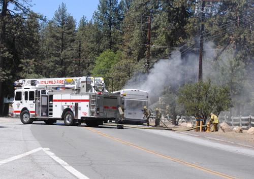
The fire danger around Idyllwild, Pine Cove and Mountain Center has “not changed or spurred the creation of the new maps, rather the life cycle of the older versions of the maps had expired and needed to be updated,” wrote Deputy Chief Scott Bethurum of the Riverside County Fire Department.
The public hearing for Riverside County is scheduled for 10 a.m. Tuesday, Jan. 17 at the county’s administration building in Riverside at 4080 Lemon Street. On this day, the board of supervisors will not meet, so the room is available for the public hearing.
“This will be a gathering to receive public comment but not a Q&A session,” Bethurum added. A Cal Fire FAQ sheet can be found at https://osfm.fire.ca.gov/media/mfvb2mjf/2022-fhsz-faqs-july-2022.pdf.
A draft of the new map can be found at https://osfm.fire.ca.gov/fire-hazard-severity-zones-maps-2022/.
An interactive map that allows viewers to get closer to streets and neighborhoods in specific areas is available online at: https://osfm.fire.ca.gov/fire-hazard-severity-zones-maps-2022/
Written comments may be sent to: Office of the State Fire Marshal, C/O: FHSZ Comments, California Department of Forestry and Fire Protection, P.O. Box 944246, Sacramento, CA 94244-2460, or email to fhszcomments@fire.ca.gov.