Each afternoon, from Wednesday through Friday, Aug. 15 to 17, Riverside County Emergency Management officials issued warnings of possible scattered heavy rain in the Cranston Fire area and potential mudslides. Evacuations of the Hurkey Creek, Apple Canyon, Fleming Ranch and Strawberry Creek areas were issued each afternoon.
The Cranston Fire, which was started by arson on July 25, burned much of the landscape on both sides of the highway from Idyllwild to Mountain Center, and from Mountain Center to an area close to Valle Vista.
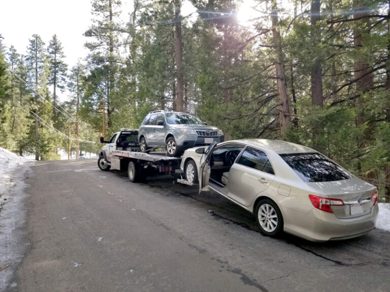
During the storms, the major highways — 74 and 243— were wet but free of mudslides. However, some slides did occur in the Apple Canyon areas, and running water and runoff were strong.
The rainfall can occur in small areas, not necessarily consistently over the Hill. For example, Friday’s rain was very heavy in higher elevations and water flow was extremely high in town. However, in the southern edge of Idyllwild — Tollgate and Double View — the rain fall was much lighter.
For the three days, the U.S. Forest Service’s Keenwild Ranger Station recorded just 0.4 inches, all of which was on Thursday. The Garner Valley site recorded 1.07 inches Friday. And equipment at Mt. San Jacinto recorded about half an inch during the three days.
Excessive rainfall over the Cranston burn scar could result in debris flow, especially east of Idyllwild and southeast of Mountain Center. The debris flow can consist of rock, mud, vegetation and other loose materials, according to officials.
The Cranston Fire left the ground on the mountaintop scorched with little ability to absorb water. This means that scattered rain can result in more runoff than usual, leading to flooding, mud or debris flows, with little to no warning. There also is a threat of rockfall on steep, burned slopes.
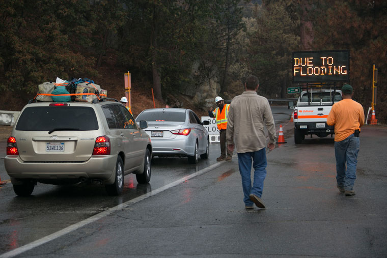
Photo by Jenny Kirchner
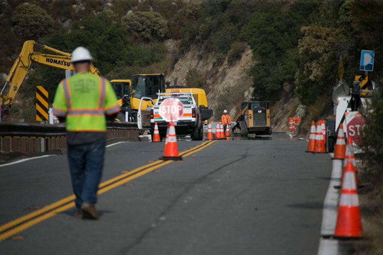
Once the rain stops, authorities determining when to re-open roads to traffic usually wait an hour to be sure slides are not slow in occurring.
Riverside County officials urge residents and visitors around the Cranston Fire burn area to take the following steps:
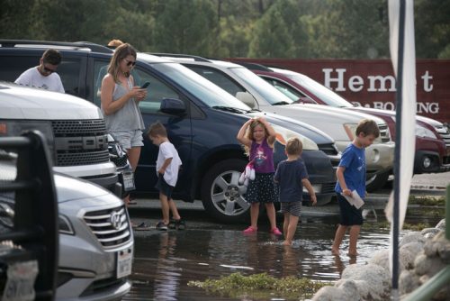
Photo by Jenny Kirchner
• There may be little to no warning before flooding, mud or debris flows occur. Be prepared to evacuate to high ground if you feel you’re in danger.
• Follow all orders by public-safety officials. Make sure you receive emergency alerts by signing up for Alert RivCo messages at RivCoReady.org/AlertRivCo.
• Monitor weather reports and consider your safety risk when a weather alert is issued.
• Know your local roads and understand that some may be blocked by debris. Have an alternate route. Never drive or walk into floodwaters or go around barricades. Stay informed of road and highway conditions by visiting the Riverside County Transportation Department’s website at rctlma.org and Caltrans’ website at quickmap.dot.ca.gov.
• Protect your property structures with sandbags. Limited, unfilled quantities are available at your local fire station. If you have active flooding occurring inside your dwelling or you feel you’re in imminent danger, dial 911.
• Have an emergency plan and a disaster kit ready to go.