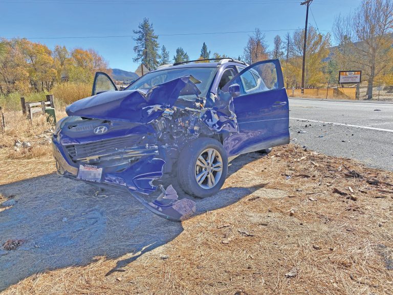
Photo by Steven King
“Ready, Set, Go!” is the creed that fire agencies — federal, state and local — urge Hill residents to apply. And Monday evening, the same agencies and more said the same preparation and urgency is necessary when the heavy rains threaten flooding and debris flow.
The severity of the Cranston Fire has changed the soils where it burned. “They are now hydrophobic,” said Jason Uhley, general manager of the Riverside County Flood Control and Water Conservation District.
“The risk is just beginning,” he said. “The fire changed the soils’ chemistry. The water washes off, creating significantly more run off.”
Not only Uhley, but every speaker urged local residents to inspect their properties and learn where the water flow comes onto and then exit their property, and then know the emergency paths in case flooding does occur.
While the most severe threats will be during the current monsoonal season and this coming winter, Uhley emphasized, “It’s not just this winter. It takes three to five years for the mountain slopes to recover.”
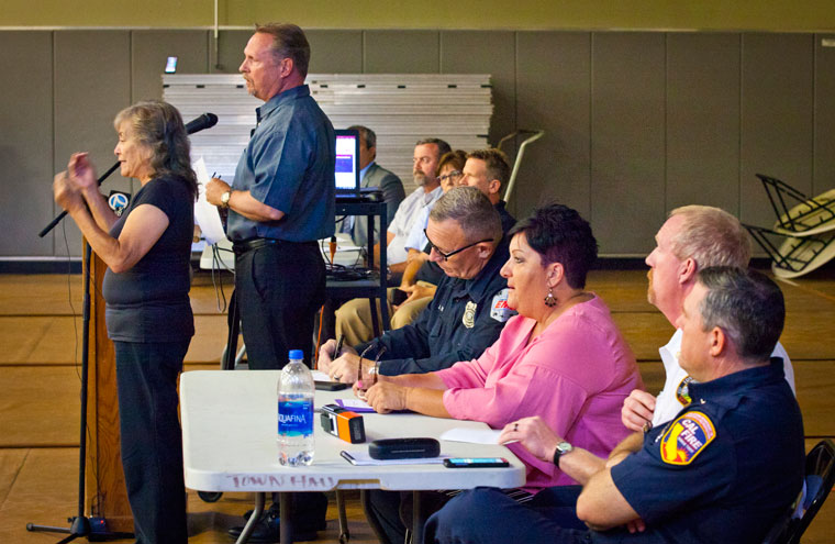
Photo by Steven King
Bruce Barton, director of the Riverside County Emergency Management Department, was the meeting emcee. His opening comments presaged Uhley’s presentation.
“The mountain soils have been scorched. They are unable to absorb water naturally,” he said. “You need to plan for whatever major storms come over the mountain.”
Alex Tardy, meteorologist with the National Weather Service’s San Diego office, discussed their ability to estimate the volume, rate and location of rainstorms. Working with both the U.S. Forest Service and the Geological Survey, he has a model of what amount of rain on the burn scar could bring floods and debris flow.
Their models are detailed sufficiently to distinguish Strawberry Creek from Hurkey Creek and the expected rainfall in each creek basin. Tardy added that the total rain volume is less important than the rate of rain. The burn scar is extremely sensitive to rates greater than 1 inch per hour. Last Friday, which saw flooding from Hurkey Creek, the rainfall near the top of the mountain was 1.5 inches per hour.
To illustrate the danger and amount of rain and debris, Tardy shared that he visited the Apple Canyon area after Friday’s rain. “The debris marks were over my head, higher than 6 feet,” he noted.
In closing, Tardy explained the difference between a weather watch, which means activity is approaching and may happen, and a warning. When a warning is issued, the weather activity is immediate or already happening.
The following speakers, including Lt. Zach Hall from the county Sheriff’s Hemet Station, stressed that deciding to take action after a warning is issued is “too late.”
“After a warning, it has already started to rain. The flow is very unpredictable and not safe for us or you.” He urged people to be prepared, make plans and choices when the watch is issued.
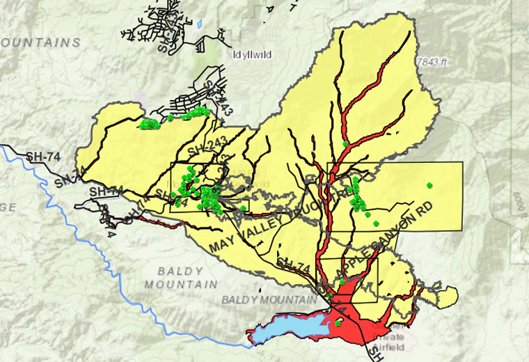
Click on map to see live updates.
Map courtesy Riverside County Emergency Management Department
Idyllwild Fire Chief Patrick Reitz reinforced the advice from the earlier speakers and also emphasized the need for residents to be cautious and safe. He thanked those who evacuated Idyllwild when the Cranston Fire started, and those who listened and evacuated when the order was issued.
But for those who stayed, he said, “Shame on you! Don’t put us at risk for you.” Firefighters and emergency medical are already responding to the emergency and danger; to exacerbate the inherent danger of the situation is unfair to all, he emphasized.
“The new norm is road closures,” Reitz added. “If Highway 74 is closed in one direction, it is likely closed in both. The safe route is Highway 243 north. Learn it and love it!”
The three areas most vulnerable to significant flooding, according to Uhley, are the Fleming Ranch area, Hurkey Creek, its park area, Apple Valley, including the Zen Center, and Mountain Center. Residents in the Double View area should be aware of possible erosion and sediment issues. Being on the ridge diminishes the flooding danger, but the terrain for each parcel is important, he added.
Terri Kasinga from Caltrans presented a video of recent storm and debris flows, and discussed the current future work Caltrans plans for the local highways. Mostly, this will be repair and replacement of culverts. Many on these roads are very old and will not withstand significant water flows.
A video of the meeting is available on the county’s EMD Facebook page, County of Riverside Emergency Management Department or www.facebook.com/CountyofRiversideEMD/ and specific Cranston Fire flood information may be found at www.rivcoready.org/Have-a-Plan/Flooding/StormReady.
The Riverside County Emergency Management Department recorded the video and posted it to facebook and Twitter:
Live from the Cranston Fire Community Meeting https://t.co/uPsXqzLZTB
— RivCoReady (@RivCoReady) August 28, 2018