Inclement weather continues through the second week of 2019. While some snow fell at higher elevations last week, Saturday brought some brief and light snowfall to Idyllwild.
Total precipitation through Sunday was not heavy, but more rain and possibly snow were forecast for Monday evening. Two more warmer rainstorms were forecast for the middle to latter part of this week. One was expected Tuesday and the second Wednesday night.
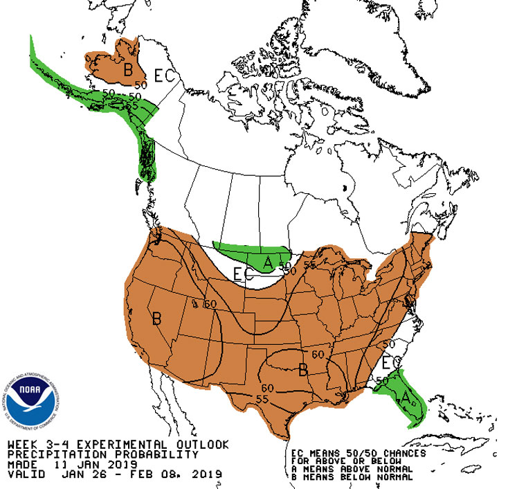
Longer term, the National Weather Service is still forecasting El Niño weather conditions for later this winter and early spring. However, the prediction is 65 percent and described as a weak El Niño.
“Given the timing and that a weak event is favored, significant global impacts are not anticipated during the remainder of winter, even if conditions were to form,” said the latest NWS report.
The rain on Monday and early Tuesday brought more than two-thirds of an inch to the Idyllwild Fire Station. The U.S. Forest Service’s Keenwild Station recorded nearly an inch by 9 a.m. Tuesday.
With this moderate rain, Idyllwild Fire has recorded 6.5 inches of precipitation, slightly below the long-term historic average for the Hill through January. Keenwild has received about 7.7 inches, which is greater than the average of 6.9 inches from October through January.
Since substantially more rain was expected this week, both should reach and exceed the average through January.
With the precipitation and El Niño forecast, the NWS already stated that the drought condition would likely be removed for much of Southern California.