As June approaches, it appears that winter is finally receding from the Hill and surrendering to the traditional seasons of the calendar.
Last week, there were three separate “winter weather advisories” issued for the Hill areas. The final advisory was from noon to midnight Sunday, May 26. Snow fell from San Jacinto Peak to flurries in town each time.
The May 26 precipitation fell mostly on the San Jacinto Mountains. According to the National Weather Service, the U.S. Forest Service Vista Grande Fire Station recorded 1.4 inches in 24 hours, the most in Southern California. Two of the other top 10 sites were on the mountain, too.
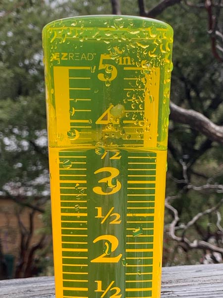
During the six days from Wednesday, May 22, to Monday, May 27, the Forest Service’s Keenwild Fire Station recorded 1.4 inches of rain. The Idyllwild Fire Station recorded 1.3 inches of precipitation during the same period.
Total rainfall received at Keenwild since Oct. 1, 2018, is 31.2 inches; the long-term average for this period is 23.2 inches. Since the winter of 2008-09, Keenwild’s total rainfall has exceeded 30 inches twice — 2010-11 and 2016-17.
Since January, El Niño weather conditions have existed, and NWS is forecasting these El Niño conditions will continue into fall.
Since last fall when the El Niño weather was forming, NWS has described this El Niño as “weak.”
And precipitation is not the only atypical weather factor this year. The average maximum temperature this month has been 60 degrees compared to the long-term mean of 70 degrees. The average daily temperature has been 49 degrees, 5 below the long-term daily average for May.
While there may be afternoon rain showers Wednesday, temperatures are expected to begin climbing back to normal and next week may feel “hot” by comparison.