“In like a lion and out like a lamb” is the common adage describing March weather, but in 2023 the lamb version has remained hidden.
Another atmospheric river passed over the Hill last week bringing strong winds as well as wet weather. More than a dozen have moved over California this winter and, at least half have released, if not dumped, precipitation on the Hill.
Total Hill rainfall has already exceeded the average for an entire water year, which is from Oct. 1 to Sept. 30. In Idyllwild, the long-term average rainfall for 12 months is 25.7 inches.

PHOTO BY JOEL FEINGOLD
While the Idyllwild Fire Department’s precipitation equipment has recorded 24.2 inches of rain since Oct. 1, two other nearby stations are well above the annual average after only six months. The Dutch Flat station in Pine Cove has recorded 27.9 inches since Oct. 1, of which nearly 90% has fallen since Jan. 1.
Keenwild Ranger Station also is above the annual average, with 28.74 inches since Oct. 1; with 22 inches recorded in 2023.
The most recent storm dropped 2.3 inches of rain in Idyllwild, 2.21 inches in Pine Cove and 3.4 inches at Keenwild Ranger Station. That is in addition to at least 10 inches of fresh fallen snow.

At Thanksgiving, only four months ago, all of California was considered in one of the four drought stages. As of March 21, about four months later, nearly half (48.5%) of the state is free of drought. This is nearly three times as much land liberated from drought since the end of February and almost double the area since the beginning of the month.
February 2020 was the last time this much of California was drought free.
And at the end of November, nearly 40% of the state was in either extreme or exceptional drought, the two worst conditions. As of the middle of January, none of the state was classified in either of those drought stages.
And the Southern Sierra Mountains’ snowpack is nearly 280% greater than the average for April 1.
The Hill has had an abundance of precipitation since the beginning of 2023. But last week’s storm reinforced the “lion” image of March weather. A tornado touched in the city of Montebello Wednesday afternoon, March 22, and injured one person. Its peak winds were greater than 100 mph. The day before, a weaker tornado appeared in Carpinteria.
During this blustery week, the wind surges on the Hill reached 54 mph at both Rocky Point in Pine Cove and near Twin Pines.
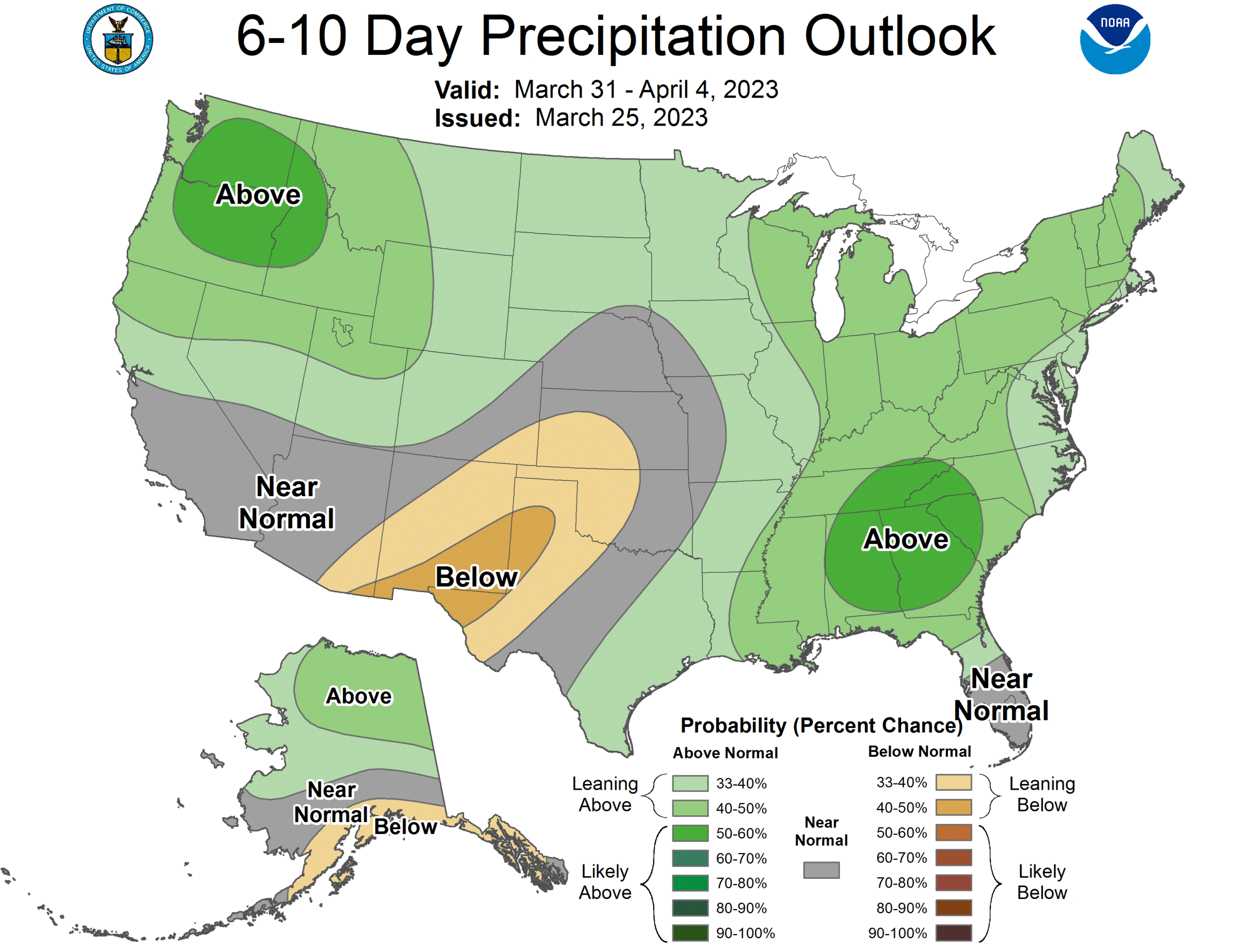
March’s severe weather does not appear to have ended, despite chilly but sunnier weather over the weekend. Friday morning, March 24, the National Weather Service (NWS) was forecasting more rain next week, most likely Wednesday and Thursday.
NWS forecast models are not yet consistence, so the strength and action path of the storm could vary. Nevertheless, the NWS Saturday forecast stated, “Count on wet weather for the middle of next week, but determining how wet, and for how long, will need a bit more refinement.”
However, the current view is that the moisture content will not be as great as with the previous storm systems. Nevertheless, it still seems to have the capacity to bring widespread rain and mountain snow to the entire state again. And it is possible this pattern may continue the first week of April, according to the NWS.
But nearly three months of rain has made a difference. Friday, Gov. Gavin Newsom announced that certain drought emergency provisions can be eliminated now.
In his proclamation, the governor ended the voluntary 15% water conservation target and the requirement that local water agencies implement level 2 of their drought contingency plans.
It does “preserve all current emergency orders focused on groundwater supply, where the effects of the multi-year drought continue to be devastating.”
But he did retain a state of emergency for all 58 counties to allow for drought response and recovery efforts to continue.
On the same day, the Department of Water Resources (DWR) announced a significant boost in the forecasted State Water Project (SWP) deliveries this year due to continued winter storms in March and a massive Sierra snowpack. DWR now expects to deliver 75% of requested water supplies, up from 35% announced in February. Further adjustments to the forecasted allocation are likely following the milestone April snow survey measurements.
“California continues to experience weather whiplash, going from extreme drought to at least 19 atmospheric rivers since late December. It really demonstrates that in times of plenty, we need to move as much water into storage as is feasible,” said DWR Director Karla Nemeth.
The Governor’s actions come nearly week after the Metropolitan Water District (MWD) of Southern California announced it will no longer mandate emergency restrictions on water use for nearly 7 million people. The MWD board’s action reflects improvements in the availability of SWP supplies. Storage reserves have been drawn down and significant challenges remain to the region’s other source of imported water. These mandated emergency restrictions had been in place since June 2022.