The relatively balmy April temperatures and sunshine replaced the dismal and turbulent March weather. The beginning of May brings another change, almost a second act. Cool weather began to return Monday. The National Weather Service (NWS) forecasts its continuation, along with some precipitation, until the end of the week and recently described the current Southern California weather patterns as a “roller-coaster ride.”
The precipitation forecast for Idyllwild was about a half inch of rain between Wednesday and Thursday. But this new low may also bring back snow around the 5,000- to 5,500-foot elevations, according to the NWS Monday. Possibly 1 to 4 inches of snow may occur above 6,000 feet.
Affirming the “roller coaster” comparison, the snow forecast follows Saturday’s 106 degree high in Palm Springs Saturday, which tied the high temperatures also reached April 29 in 1959 and 2013.
On Monday, May 1, the NWS forecast for this week stated, “Drying and gradual warming is then expected into next weekend, but with high temperatures remaining below average through Sunday [May 7].”
Daniel Swain, a UCLA climate scientist, issued the same forecast late last week. “There will be yet another dramatic shift in the prevailing weather regime over California as a cutoff low pressure area sets up shop over or just west of NorCal by below average levels once again, although it’ll be less pronounced than recent cold spells.”
But he did think it would be colder this week, just not a great likelihood of a major storm.
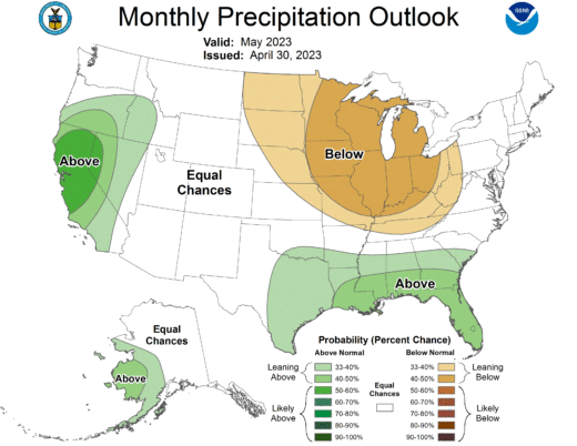
Longer term, the NWS expects the month of May to be cooler and wetter than average.
Looking beyond this spring, Swain sees a greater than normal likelihood a major (perhaps super) El Niño event next winter that would “rival historic records” with increased odds of a wetter than usual winter.
The reprieve from the voluminous precipitation was welcomed. That rain and snow has helped the Hill and the state recover from the threats of another drought year.
At the Idyllwild Fire Station, nearly 13 inches of rain fell during March. That is half the long-term average (25.7 inches) for the rain year (Oct. 1 through Sept. 30). Since Oct. 1, 2022, Idyllwild has recorded 25.4 inches.
Keenwild Ranger Station recorded rainfall is almost 20% greater than the annal average, with 29.9 inches since Oct. 1, of which nearly three-quarters fell since the beginning of 2023. The Pine Cove Dutch Flat weather station has recorded nearly 30 inches since the year began Oct. 1.
As of Jan. 10, only three months ago, all of California was considered in one of the four drought stages. As of April 25, less than four months later, more than two-thirds (68%) of the state is free of drought. Two months ago, Feb. 28, only 17% of the state was drought free. More than three years ago, in January 2020, was the last time this much of California was drought free.
At the beginning of 2023, more than a quarter of the state was in either extreme or exceptional drought, the two worst conditions. As of the middle of January, none of the state was classified in either of those drought stages.