As 2015 ended, the Hill received its biggest rainstorm in more than year. During the pre-Christmas storm on Dec. 22, the U.S. Forest Service’s Keenwild Ranger Station recorded 2.15 inches of rain and Pine Cove received 2.9 inches of rain.
The Keenwild total was almost twice the amount of rain that came during summer storms in July and September. The last 2-inch storm recorded at Keenwild was Dec. 4, 2014.
Tuesday, Dec. 22’s rainfall in Pine Cove was twice the amount that arrived during a September storm and more than any storm since 2013.
Through Christmas and since July 1, 2015, Keenwild has recorded 10.75 inches of precipitation, only 2.5 less than all of 2014-15. Total rain through December in Pine Cove is 13.1 inches, which is about two-thirds of the total rain last year.
While the Sierra snowpack is greater than last year, snowfall on the Hill has not approached the volume normally received through December.
While the volume of snow this winter is still unknown, National Weather Service meteorologists continue to expect well-above-normal precipitation through March and early April. The water temperature of the eastern Pacific Ocean compared to its normal temperature has now set a record, according to Alex Tardy of the San Diego NWS office.
“This El Niño is unusually warm and will likely draw the jet stream farther south,” he said last week. “El Niño is not one event or one storm … We’re looking at a historic El Niño … the current El Niño magnitude hasn’t been seen before.”
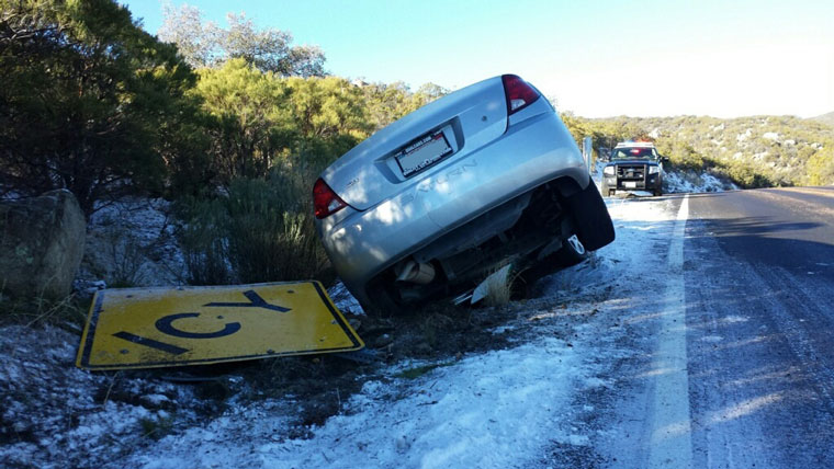
The storms could be long lasting, such as last week’s rain which seemed to continue falling without much pause for 18 to 20 hours. If storms of this magnitude occur without much time in between, the volume of rain will be sufficient enough to cause flooding and ground slides, according to emergency preparation officials.
On Monday, Tom Rolinski, Predictive Services program manager for the Southern California Geographic Area Coordination Center (a multi-agency organization), wrote, “The good news is that the long-range models are now more consistent in depicting a shift to a much wetter pattern for the southern portions of the state starting the first week of January. This pattern change looks more typical of El Niño in that there would be a greater frequency of storms moving from west to east into the region. The first storm could arrive as soon as Monday, Jan. 4, with one or two more significant storms following.”