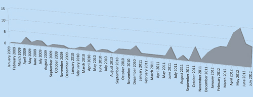
While the National Weather Service is forecasting the development of a La Niña weather pattern for this winter, below-normal precipitation has already begun.
While spring saw an abundance of precipitation, the fall season has been abnormally dry. Although a few sprinkles occurred early Friday morning, Oct. 20, total rainfall since July 1 has barely exceeded an inch. The historic average rainfall through the end of September has been 2.35 inches with another inch falling in October.
The minimal moisture in combination with a Santa Ana wind event raised the fire threat to very high in recent days. The Santa Ana winds began Monday and continued through Tuesday.
Combined with very low humidity, a Red Flag Warning extended from Monday until 6 p.m. Wednesday, Oct. 25. NWS says the Red Flag Warning “… means that critical fire weather conditions are either occurring now or will shortly. A combination of strong winds … low relative humidity … and warm temperatures can contribute to extreme fire behavior.”
The forecast for the end of the week was “Weaker winds … for Thursday and Friday with slow cooling spreading inland and with a gradual recovery of humidity.”
Local fire units were on high alert throughout Southern California.


