While the first three months of 2024 have not been as wet as in 2023,
precipitation has covered the Hill. This past weekend was a combination
of snow, between 8 and 10 inches, and another inch of rain.
No precipitation records were set during the weekend, but one weather
record did occur. The National Weather Service (NWS) reported that the
low temperature in Idyllwild Saturday, March 30, was 40 degrees. The
previous low for this date was 43 degrees, which occurred nearly 50
years ago in 1977.
Currently, the NWS has another storm forecast for next weekend.
Precipitation could start as early as Thursday evening and continue into
Saturday. While the volume is likely to be less than what fell this past
weekend, temperatures are more likely to be colder and snow levels as
low as 3,500 feet, the NWS reported Monday, April 1.
Rainfall totals remain below the average for a rain-year (from Oct. 1
through Sept. 30). They have been steadily climbing during the last half
of March. Idyllwild and Pine Cove Dutch Flats recorded nearly 3.5 inches
in March and Keenwild Ranger Station recorded about 5.7 inches of rain.
For the past 20 years, the average annual rainfall at Idyllwild Fire
Station has been about 22.7 inches. During 2024, the precipitation total
was nearly 40 inches.

Since Oct. 1, 2023, slightly more than 12.25 inches have been recorded
at the fire station, which is about 54% of the average annual rain. At
both Keenwild and in Dutch Flats, more than 19 inches have been
recorded, or nearly 85%, of the annual total.
In 2023, only 5 inches of precipitation were recorded from April through
September, and nearly 3.6 inches came as Tropical Strom Hillary passed
over the Hill in August.
In its March El Niño report, the Climate Prediction Center forecast
these weather conditions to begin transitioning during the spring to
neutral conditions. La Niña conditions are likely to emerge during early
to midsummer. The NWS prediction set the odds of this occurring at 62%.
And Climate Science at University of California, Los Angeles’ Dr. Daniel
Swain’s midterm forecast is consistent with the NWS prediction: “There
may be one additional (though weaker) system that could bring some
additional showers, isolated thunderstorms, and Sierra snowfall later
next week. But after that, there are some signs of a quieter and warmer
pattern developing that could persist until at least mid-April. Right
now, seasonal models are suggesting relatively high odds that California
will warm up rather fast starting in May and June this year,” he wrote
on Weather West, Wednesday, March 27.
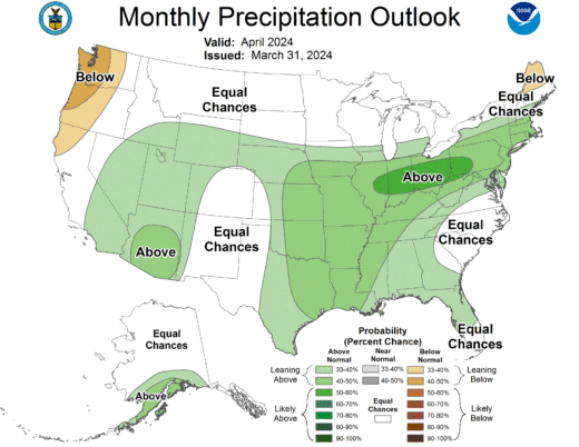
Looking at the NWS forecast maps, April showers are still expected, but
the May through July period will be warmer and drier.