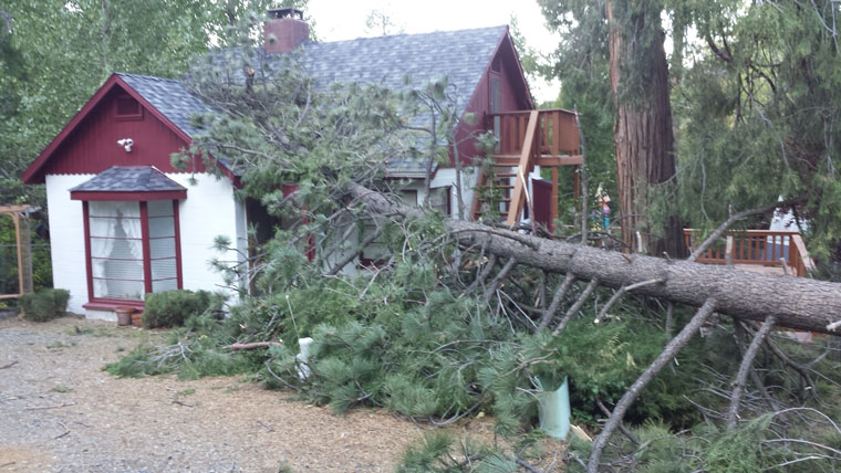
Photo courtesy Gary Erb
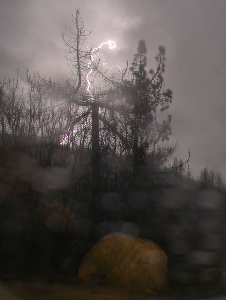
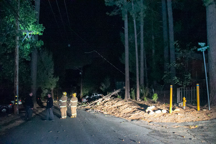
The past week offered a panoply of weather — rain, lightning, thunder, sunshine and wind. Residents encountered this variety of celestial entertainment and then the shock of no electricity for more than 24 hours.

Photo by Jenny Kirchner
As the weekend’s sky violence passed, the fabled Santa Ana winds began arriving Monday. The bursts were forecast and Southern California Edison advised its customers throughout Southern California that power might be shut off to avoid or minimize the chance of wildfires.
Although Monday morning arrived with stronger-than-normal winds, they were not of the same magnitude as in December 2017, when the Hill lost power before.
However, to everyone’s surprise, including SCE’s, electricity all over the Hill disappeared about 11:20 a.m. Monday, Oct. 15.
Edison media staff assured inquirers that this was not a planned power shutoff and they had no explanation for the blackout. Throughout the day, power restoration was promised.
Some areas north of Idyllwild did see several hours of light before losing their power again.
Without alarms or music, residents awoke in deep disappointment Tuesday morning. Over the night, SCE emailed customers with the promise of power by 9 p.m. Tuesday, then later in the morning, that promise was revised to 6:45 a.m. Wednesday.
Apparently, an automatic circuit breaker closed down and Edison could not restart it soon enough. Because of the winds, SCE field staff had to survey power lines to be sure no branches, limbs or other encumbrances were on lines and could ignite.
Tuesday morning, SCE was able to use a helicopter to survey the lines, which the winds had prevented from occurring on Monday. About noon, power was coming back to many Hill neighborhoods.

Photo by Jenny Kirchner
Late Friday night, Oct.12, into early Saturday morning, the sky was a constant burst of bombs. More rain fell during the day Saturday. The total rainfall recorded at the U.S. Forest Service’s Keenwild Ranger Station was .75 inches and one-third of an inch at the Idyllwild Fire Station. More rain fell further north and also to the east along the coast.
Despite the midnight thunderstorms, rain fell over a several-hour period. Fortunately, the rate was not great enough to create any flooding. Neither highways 74 nor 243 were closed Saturday or Sunday.
On Monday, Jerry Hagen, emergency services coordinator for the county’s Emergency Management Department, wrote, “… although we did get rain it was not projected to meet any of the thresholds that would have triggered an evacuation warning/order for the Cranston Burn Scar area.
“For the coming winter each projected storm will be evaluated for potential rainfall, both rate and amount, and compared against our established threat matrix,” he added. “Road closures and evacuations will be announced as thresholds are met. This is likely the new normal for the Cranston burn area for the next 3-5 years until the ground can recover from the damage it suffered.”
The National Weather Service is forecasting a 50-percent chance of a weak El Niño weather pattern this fall and the probability increases to 65 to 70 percent for a stronger El Niño during the winter.


