As of Thursday afternoon, Feb. 27, the National Weather Service still has a flash flood watch for Southern California from the Orange County coastal areas east to the Riverside and San Bernardino county mountains. In addition, a winter storm watch has been issued for the same area Friday evening through Saturday night. The winter storm warning has been changed to above 7,000 feet from 6,000 feet elevation.
NWS is predicting periods of heavy rain from Friday morning through Saturday. Slightly more than a quarter of inch of rain fell on the Hill Thursday morning.
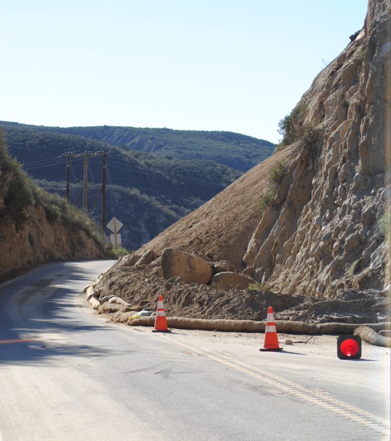
The rain totals will create the greatest threat for flash flooding over the mountains and particularly in the recently burnt areas where debris flows are possible. The NWS specifically identified some risk of debris flows from the Mountain Fire in the San Jacinto Mountains. It is possible that debris may flow into a portion of Palm Springs.
Total rainfall amounts will likely range between 5 to 10 inches in the mountains, according to the NWS.
In preparation for these two Pacific storms, CAL FIRE/Riverside County Fire Department has delivered sand and sandbags to burned areas from last year’s wildland fires — Mountain and Silver fires.
Two RCFD fire stations on the Hill will have sand and sandbags:
Garner Valley Station 53 (59200 Morris Ranch Road)
Poppet Flats Station 63 (49575 Orchard Road)
All other Riverside County Fire stations stock stand bags only (no sand) in limited supply. If you have eminent or active flooding inside of your residence, dial 9-1-1.
RCFD urges residents in and below the burned areas to prepare their homes in advance of potential flooding.
Snow levels will be slow to fall from around 10,000 feet Friday morning to around 7,000 feet late Friday afternoon and then down to 6,000 feet by Saturday morning.
Snow accumulations could be between 6 and 12 inches above 7,000 feet with local amounts up to 3 feet above 8,500 feet.