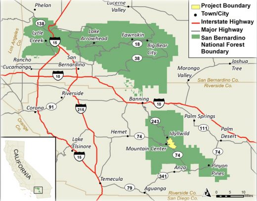
Three years after initially requesting public comment on the proposed May Valley non-motorized trail project for the San Jacinto Ranger District, the U.S. Forest Service has just completed an Environmental Assessment of the project and its alternatives.
The May Valley area contains about 55 miles of both unclassified or unauthorized non-system trails and classified or authorized national forest roads and trails. Many are popular with mountain bikers, equestrians and hikers, according to the EA.
The FS evaluated adding non-motorized trails to the national forest Transportation System as well as rehabilitating unauthorized trails in the May Valley area.
The proposed action would incorporate 3.7 miles of existing authorized forest system trails; adopt 23.3 miles of presently unauthorized trails; reroute and construct 2.2 miles of new trails; and rehabilitate (remove and restore to natural vegetative state) 12.1 miles of unauthorized trails. All adopted and existing system trails in the project area would be managed as shared use, meaning they are open to all non-motorized users.
This alternative and two others would continue to support mountain biking, hiking and equestrian use in the area, but the amount of activity will be decreased due to the reduction in unauthorized trails in the allotment area, and increased enforcement to reduce user-created trails.
Also, constructing mountain bike and equestrian access (bicycle and walk-through cattle guards, equestrian gates) on trails where they intersect livestock fences will help reduce conflicts between the different recreational users and livestock grazing.
An unauthorized trail on forest lands is not managed and maintained by the FS. An authorized trail — also known as a classified or system trail — is included within the system of trails authorized, managed and maintained by the FS (National Forest System Trail).
Many of the unauthorized trails are well established and some of the trails have been used for mountain-bike events under special-use permits during the past 12 years. Federal funding cannot be used to maintain unauthorized trails; therefore, these unauthorized roads and trails have not been adequately managed and the network has not been adequately maintained.
The 2006 San Bernardino National Forest Land Management Plan “restricts non-motorized vehicle travel to Forest System roads and trails.” This limits mountain bikes and other non-motorized vehicles only to system roads and trails.
This restriction has created concern within the local and national mountain bike communities, according to the EA authors. The International Mountain Biking Association appealed the Forest Plan decision based on this concern. A settlement agreement was reached in which the FS would resolve unauthorized routes over time.
Two other alternatives were evaluated with the proposed action. Alternative 3 responds to two of the key issues brought up during the scoping process. First, the proposed action would reduce recreation opportunities for technical challenge, variety, different skill levels, experiences, variety of terrain and aesthetic values.
Secondly, the proposed action reduces the number of trails, which forces user groups to share trails mountain-bike riders presently use. This could cause trail congestion and other user conflicts.
This alternative maximizes approval of the existing forest system and unauthorized trails in the project area. In addition to the actions described in the proposed action, the Forest Service would adopt 11 more unauthorized trails.
Of the 37.2 miles of trail comprising this alternative, 17 miles would be Class 2 trails of which 16.6 miles would be adopted and 0.4 mile would be constructed. Another 20.2 miles would be Class 3 trails of which 14.5 miles would be adopted and 5.7 would be constructed.
The fourth and final alternative was developed to minimize area disturbance and resource effects, and still meet the purpose and need of the project. It was developed in response to the issue of stream sediment, which was brought up during scoping.
In addition to those trails that would not be adopted under the proposed action, the 18 other unauthorized trails also would not be adopted. They would be rehabilitated and removed from the landscape.
Of the approximately 12 miles of trail that would exist in this alternative, 0.1 mile of trail would be Class 2 and 11.9 miles of trail would be Class 3 trails.
The project documents can be viewed on the San Bernardino website at www.fs.usda.gov/projects/sbnf/landmanagement/projects. The 30-day review period will end on July 15, said SBNF Public Affairs Officer John Miller.
Only those individuals who submit timely, project-specific written comments during the scoping and the 30-day Draft EA public comment periods, are eligible to participate in the pre-decisional objection process. Individuals or representatives of an entity submitting comments must sign the comments or verify identity upon request.
The FS will accept comments on this proposal for 30 days following publication of the legal notice of the opportunity to provide comment in the Idyllwild Town Crier.
Comments should be sent by fax to 951-659-2107, regular mail, hand-delivery or express delivery to San Jacinto Ranger District, c/o John Ladley, P.O. Box 518, 54270 Pine Crest Avenue, Idyllwild, CA 92549 or emailed to sbnf_may_valley_trails_comments@fs.fed.us.