Riverside County has issued a warning of possible scattered heavy rain in the Cranston Fire area. Residents and travelers should be careful and cautious this afternoon and through Friday, Aug. 17.
At 3:40 p.m., the National Weather Service reported the heaviest rainfall had occurred near Highway 74 in the Garner Valley area, or about 5 miles southeast of Mountain Center. This is likely to cause rapid rises in the South Fork of the San Jacinto River.
Excessive rainfall over the Cranston burn scar could result in debris flow, especially east of Idyllwild and southeast of Mountain Center. The debris flow can consist of rock, mud, vegetation and other loose materials.
Some locations that could experience likely flooding include… Mt San Jacinto State Park, Idyllwild-Pine Cove, Hwy 243 Between Banning And Idyllwild, Anza, Hwy 74 Between Hemet And Mountain Center, Hwy 74 Between Mountain Center And Anza, Mountain Center, Aguanga, Lake Hemet and Cahuilla Indian Reservation.
The chance for scattered heavy rain around the mountains starts today, Wednesday, Aug. 15 through Friday, Aug. 17, according to Riverside County officials.
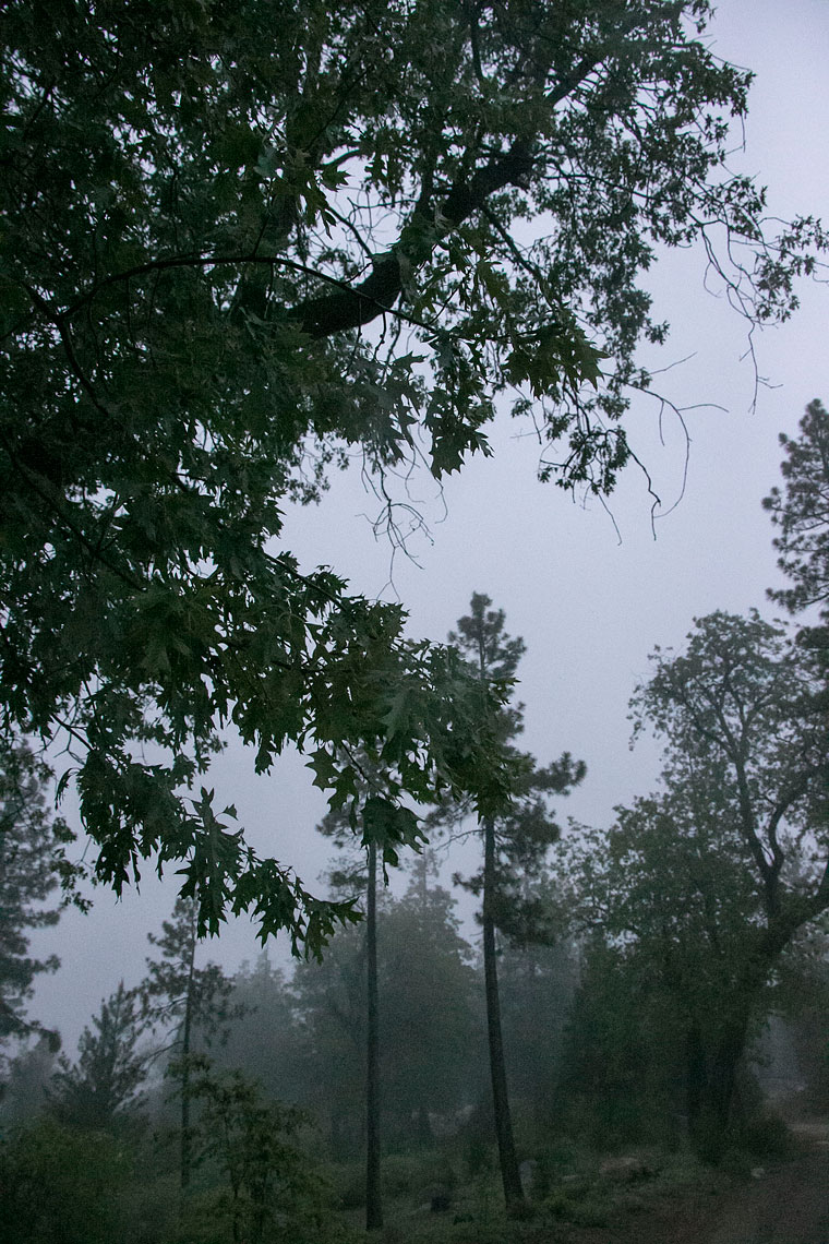
The Cranston fire left the ground on the mountaintop scorched with little ability to absorb water. This means that scattered rain can result in more runoff than usual, leading to flooding, mud or debris flows – with little to no warning. There is also a threat of rockfall on steep, burned slopes.
Riverside County officials urge residents and visitors around the Cranston Fire burn area to take the following steps:
1. There may be little to no warning before flooding, mud or debris flows occur. Be prepared to evacuate to high ground if you feel you’re in danger.
2. Follow all orders by public safety officials. Make sure you receive emergency alerts by signing up for Alert RivCo messages at RivCoReady.org/AlertRivCo .
3. Monitor weather reports and consider your safety risk when a weather alert is issued.
4. Know your local roads and understand that some may be blocked by debris. Have an alternate route. Never drive or walk into floodwaters or go around barricades. Stay informed of road and highway conditions by visiting the Riverside County Transportation Department’s website at rctlma.org and Caltrans’ website at quickmap.dot.ca.gov.
5. Protect your property structures with sandbags. Limited and unfilled quantities are available at your local fire station. If you have active flooding occurring inside your dwelling or you feel you’re in imminent danger, dial 9-1-1.
6. Have an emergency plan and a disaster kit ready to go.